
Fortifications
Given the Solway Coast’s location on a border between two countries, it’s no surprise that this area has many historic fortified buildings.
Take any route around the Solway Coast Area of Outstanding Natural Beauty and you will see churches and homes built to keep raiders out, not to mention the likes of Hadrian’s Wall and the remains of other Roman fortifications.
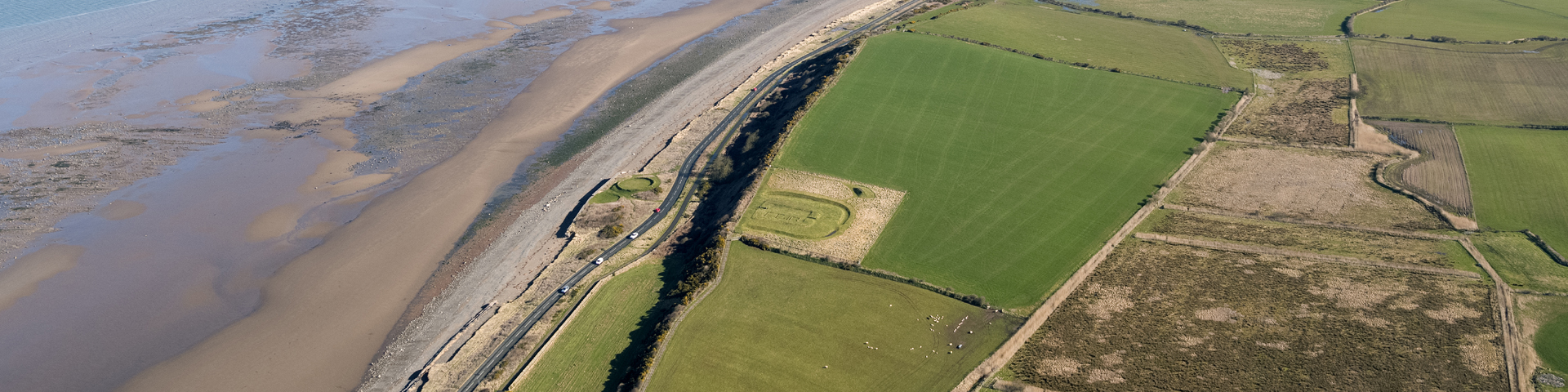
Hadrian’s Wall was punctuated by milecastles every Roman mile with two turrets set between each of them. Forts were built at Bowness, Drumburgh and Burgh by Sands, called Main, Congabata and Aballava respectively. Around the wall, in vulnerable areas, like along the coast north of Maryport, were fortlets – the remains of one, Milefortlet 21, can still be explored.
Once the wall and the forts fell in to disrepair, the locals recycled the stone to create many of the Solway buildings which still stand today.
There is Norman influence in the fortified architecture here too. When they arrived in 1092 and established the Barony of Burgh, and built a motte and bailey castle at Beaumont to the north west of Carlisle on a site now occupied by St Mary’s Church.
The next major defences were to keep out the Scots in the time of Edward I from the 14th century onwards. Led by Robert the Bruce, they attacked Holme Cultram Abbey in 1319 and 1322, but over the next 300 years it was general lawlessness and feuds by the notorious Border Reivers which caused the biggest issues.
Thick-walled towers and defensive ‘bastle’ houses were built – no small challenge in an area with little natural sources of stone. The surviving examples were built from stone from Hadrian’s Wall, close to the site of that frontier. The best example today is Drumburgh Castle.
For the ordinary inhabitants of the Solway Plain, building their own defensive structure wasn’t an option, which is when they turned to the churches for protection.
In the last century, it was airfields and pillboxes which were built to protect not this area, but the whole of the UK. Silloth Airfield was opened in 1939, then Silloth was bombed in 1940, which led to the creation of ‘dispersal areas’ in requisitioned farmland to spread out the military resources based there and minimise any collateral damage.
There’s also Kirkbride Airfield, to the east of Newton Arlosh, which also opened in 1939 as a storage and maintenance base, and the airfield and antennae masts at Anthorn, is used to communicate with submarines, as well as generate the ‘pips’ time signals.
You can learn more about the area’s recent military past at the Solway Aviation Museum at Carlisle Airport.
Did you know…?
In 122 AD, the Romans began the construction of their military frontier. It stretched from Bowness on Solway in the west to Wallsend in the east. That’s a distance of 80 Roman miles, or 73 English miles today.